
The American Association of State Highway and Transportation Officials sent a five-page letter to the Federal Emergency Management Agency on January 27 to provide feedback on floodplain management standards for land management and use; a key part of FEMA’s National Flood Insurance Program or NFIP.
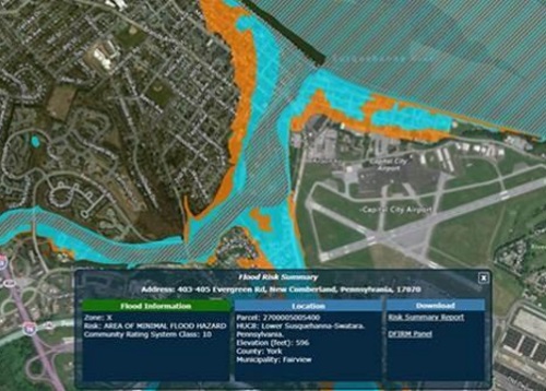
[Above image via FEMA]
Developed with the assistance of the AASHTO Technical Committee on Hydrology and Hydraulics, the letter cautions against creating more requirements for specific threatened and endangered “T&E” species as that could create a “patchwork of complex regulations” among multiple federal agencies that would further complicate floodplain permitting.
”Additional impact restrictions imposed by a change to the NFIP minimum floodplain management standards could potentially delay or prevent fish passage projects at some [state] DOTs that have their own environmental regulations and requirements regarding T&E,” AASHTO said.
The organization also recommends that the NFIP focus on floodplain management while other agencies such as the U.S. Fish and Wildlife Service and National Marine Fisheries Service focus on T&E.
On another front, AASHTO pointed out that improving the distinction between river and coastal standards is critical as environmental and climate concerns are much different between them.
“State DOTs across the country are struggling with the best method to address climate change,” the letter explained. “[Yet] climate science regarding future flooding events is in a very immature state and is not well developed. Incorporation into the NFIP should not be considered until the science has stabilized and an acceptable design method is available to [state] DOTs.”
AASHTO added that a memorandum of understanding between FEMA and the Federal Highway Administration regarding hydraulic modeling within the special hazard flood area or SFHA within the NFIP would be beneficial to state DOTs.
That would be especially true when it comes to handling minor culvert and bridge maintenance, as well as ways to improve hydraulic models to limit any potential damage to streams, creeks, or other bodies of water in and around transportation projects, the organization noted.